[dropcap size=big]T[/dropcap]his article originally published on archdaily offers extensive insight into how architects can create detailed 3D context models using drones. The article breaks down the drone-3d workflow, highlighting steps to achieve optimal results and citing some real-life projects where the approach has proved useful.
Here’s an excerpt from the article,
Words by Pjotr van Schothorst for Archdaily
 While working in 3D-visualization software such as Lumion, features such as OpenStreetMap (OSM)and satellite ground planes can provide some context for your design. They are suitable options for quickly building urban or rural environments relevant to your project’s location, but they’re also limited. For instance, OSM only provides rough building shapes, rendered white, and the satellite maps are flat, often outdated, and the resolution is too low for client visualization.
 This all got me thinking—there has to be a better way to improve fast context-building without having to sacrifice photorealism. I investigated several options, starting with Google Maps and Google Earth SDKs, but these services do not allow their data to be used outside the scope of Google Maps and Google Earth, such as for architectural visualization.
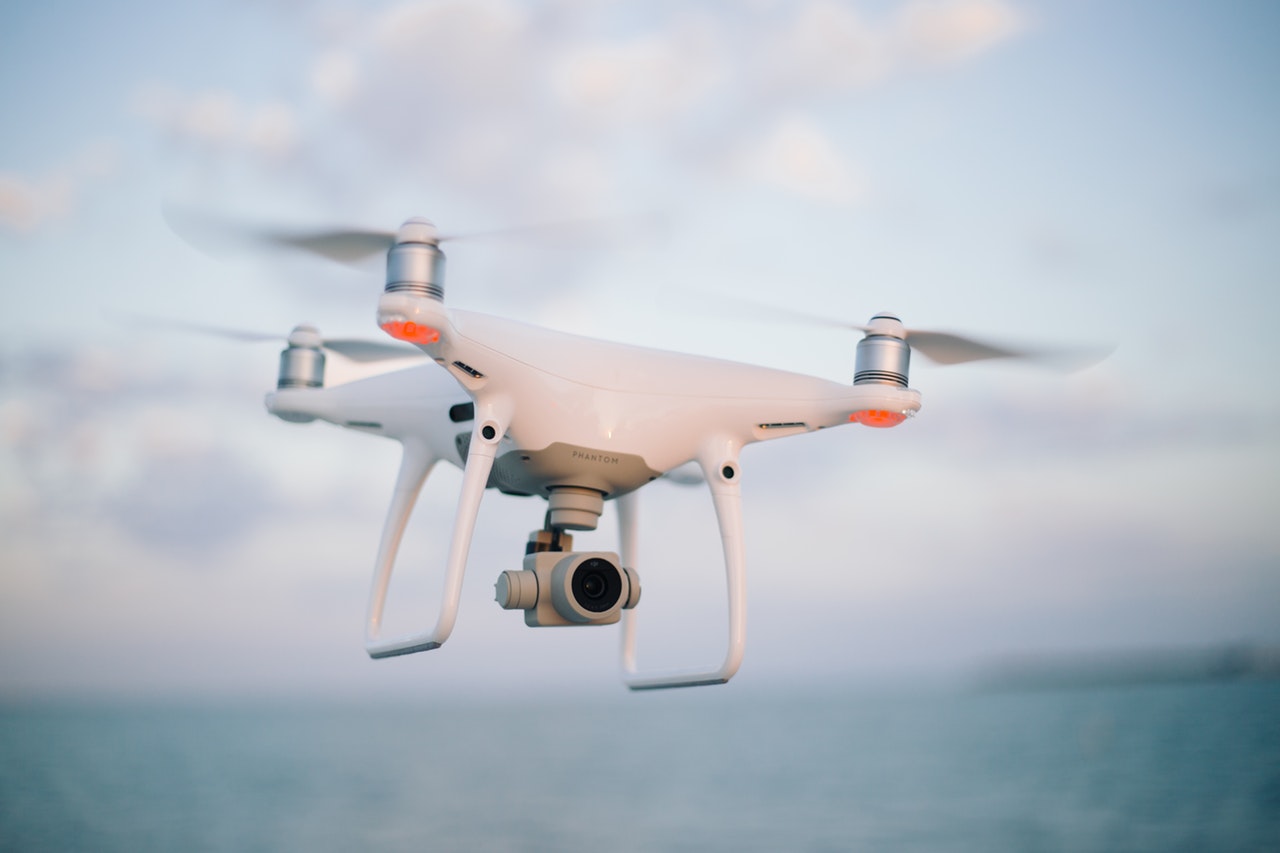
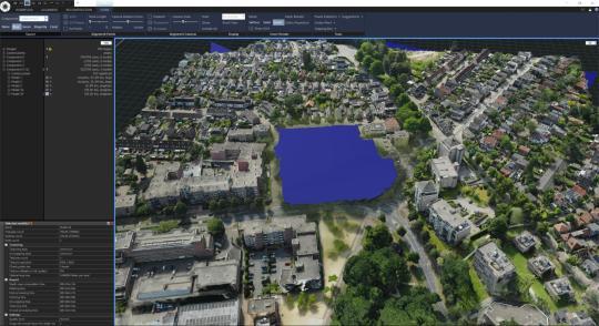 One solution is to create a 3D model of the environment using a series of photographs taken by a drone. This technique is sometimes used at construction sites to monitor progress, but it is not yet widely used for architecture design and visualization.
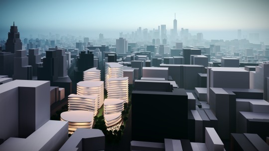
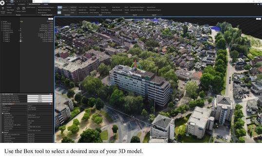 To test its viability, we used a drone-to-3D workflow for several real-life design projects. From our experiences, we derived a workflow simple enough to be used by architects (and not only 3D specialists). Using a modern drone and the software RealityCapture, it is now possible to capture an area of 300 x 300 meters and create a textured 3D model of sufficient quality for presentinga realistic background for your Lumion visualization.
You can read the original article on archdaily and get more detailed information, images and videos via the full Drone-to-3D workflow (PDF) courtesy Lumion.